SpatAn 1: Exercise B
Task 1: Geopackage “Layers”
For the upcoming exercise, we will work with the gruental.gpkg. data set: Import it into R.
You may have noticed the following warning message when importing the gruental.gpkg geopackage:
Warning message:
In evalq((function (..., call. = TRUE, immediate. = FALSE, noBreaks. = FALSE,  :
  automatically selected the first layer in a data source containing more than one.
This warning message indicates that the geopackage gruental.gpkg has several layers (rep. records) and only the first layer has been imported. Use the st_layers command to find out the layer names and then use them in st_read (as argument layer =) to import the layers individually and store them in variables (e.g., such as in the variables wiesen and baeume).
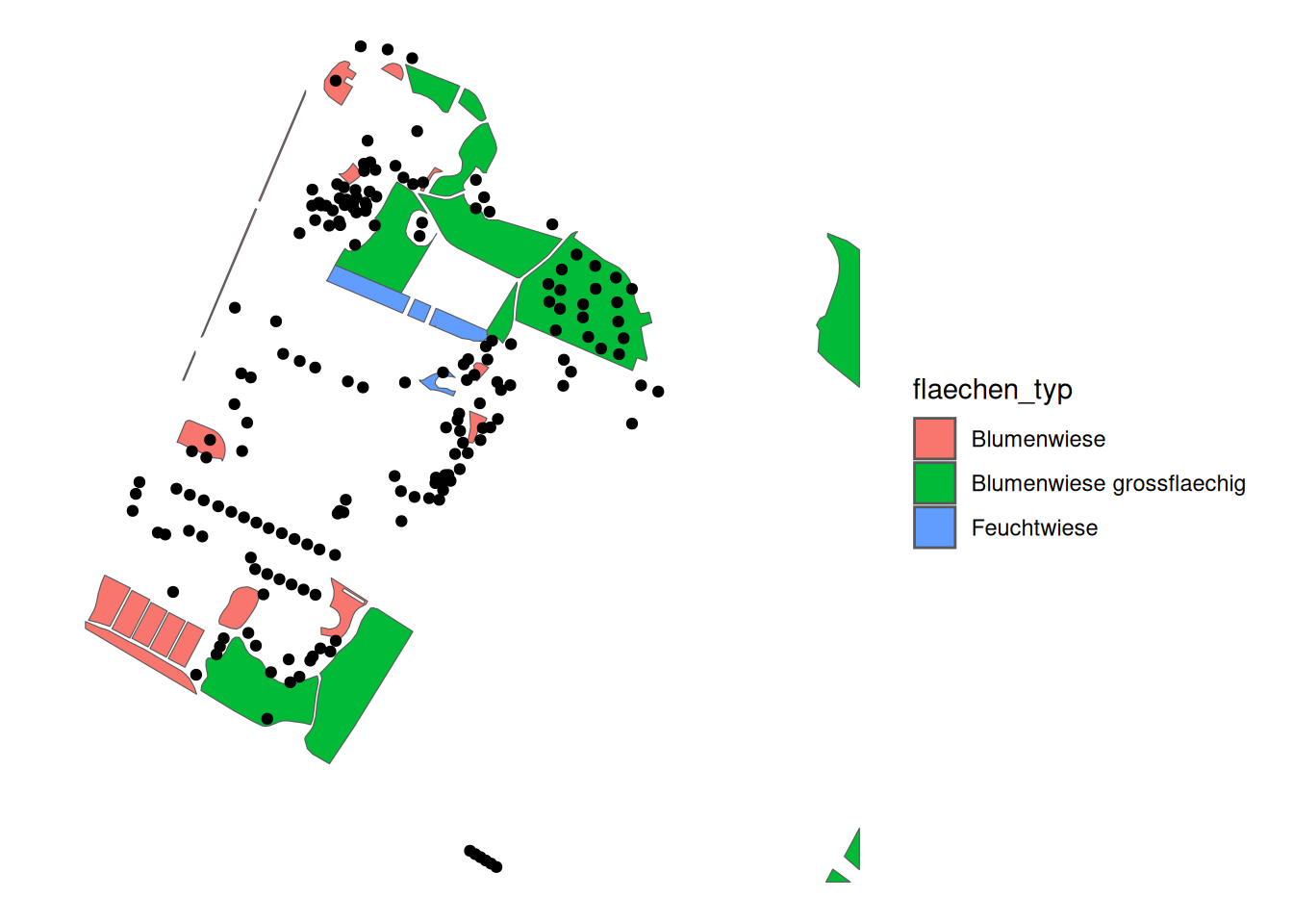
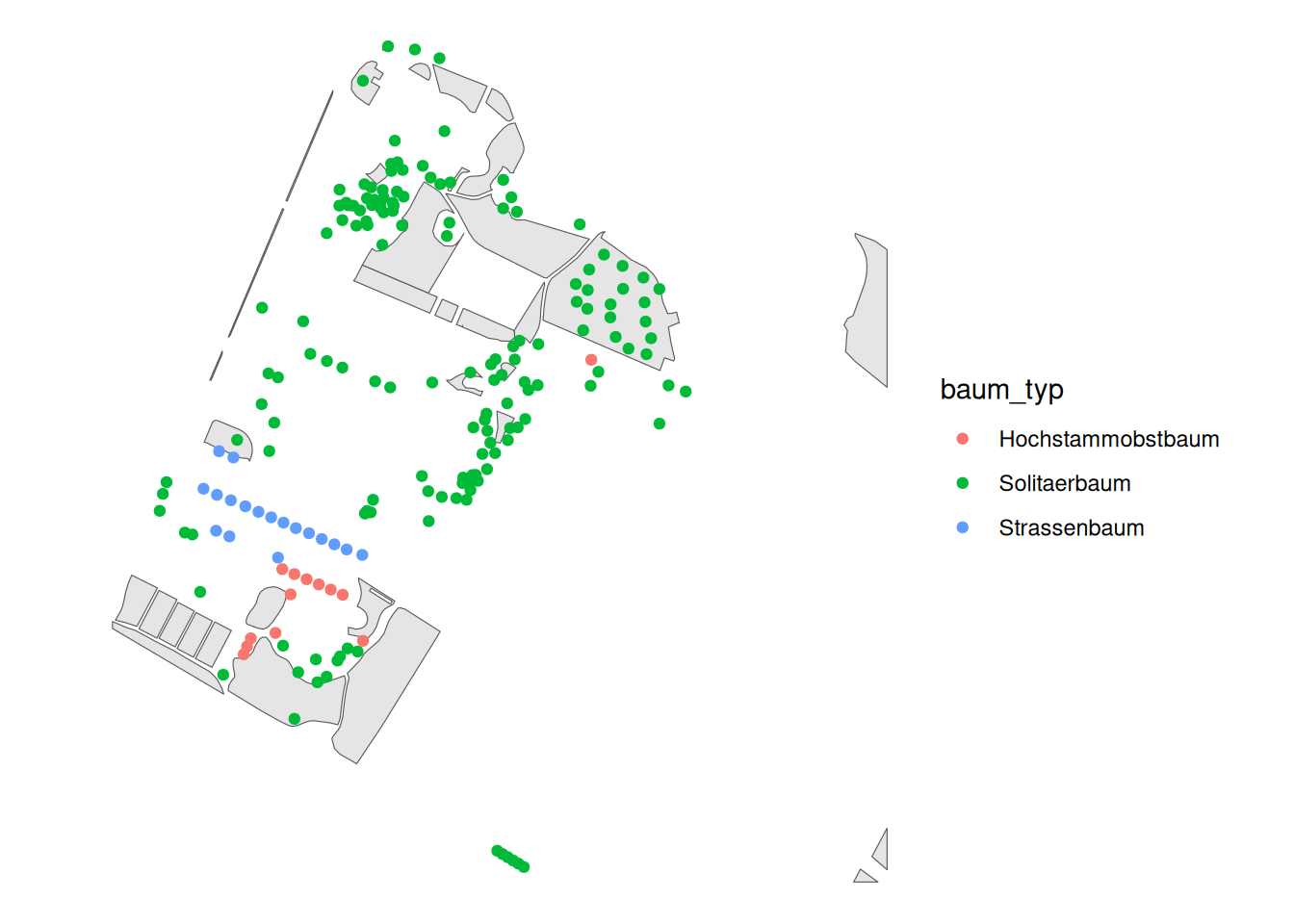
Task 2: Understanding the data sets
Take some time to explore the two datasets. Use the visualisation options of ggplot (especially geom_sf). You can superimpose multiple geom_sf to represent multiple records at the same time.
Task 3: Spatial join with points
We now want to know whether each tree is in a meadow or not. To do this, we use the GIS technique spatial join as described in the lecture. Using sf, we can perform spatial joins with st_join. There are only left and innerjoins (see PrePro 1 & 2). The points must be listed first, since we want to attach attributes to the points.
Note that the output has a new column: flaechen_typ. This is empty (NA) if the corresponding tree is not in a meadow. How many trees are in a meadow and how many are not?